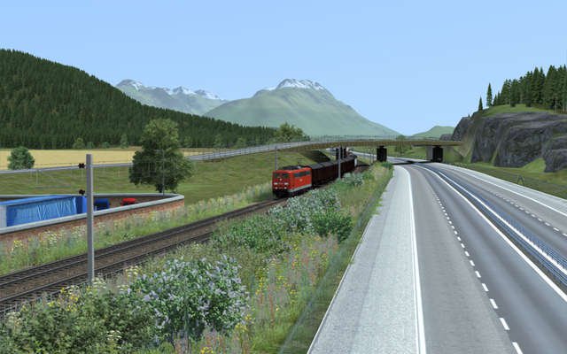
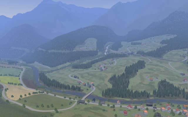
Three Country Corner Route
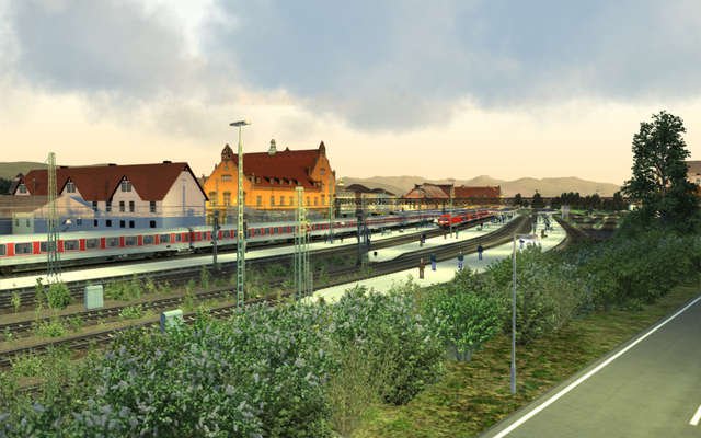
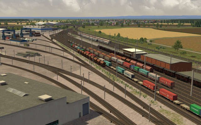
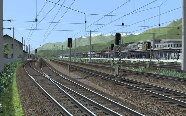
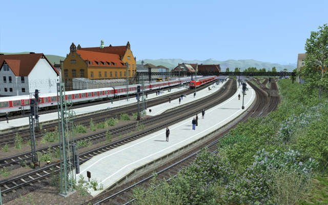
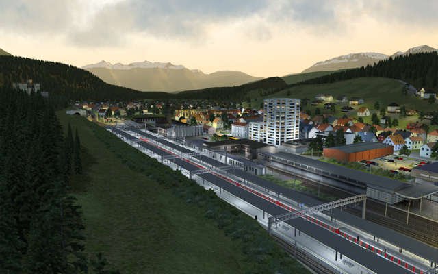
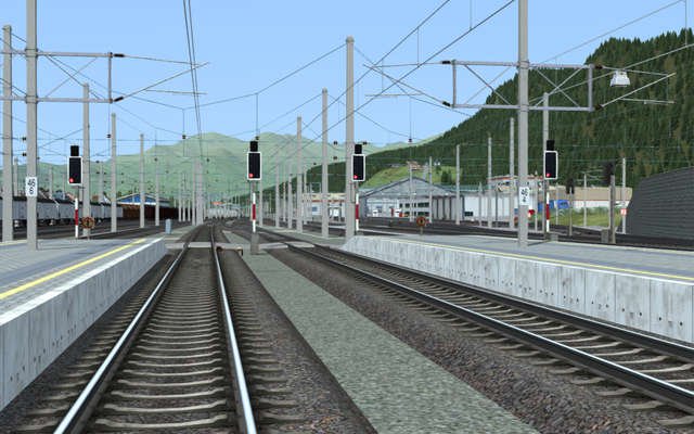
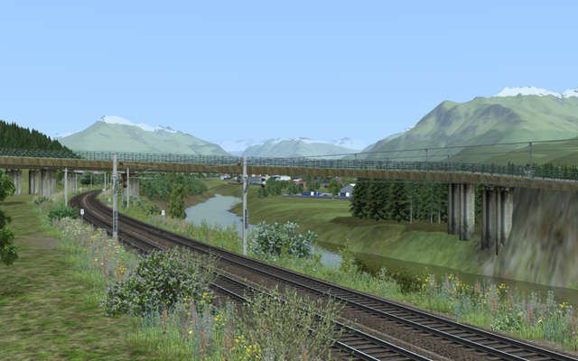
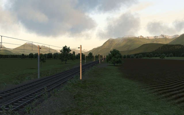
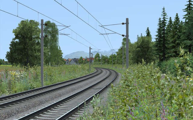
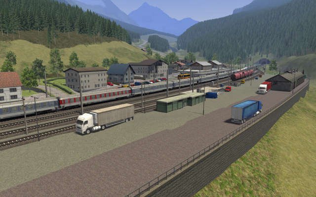
Drive 130km (80 miles) of track through Austria, Germany and Switzerland, passing through 40 detailed stations!
Description
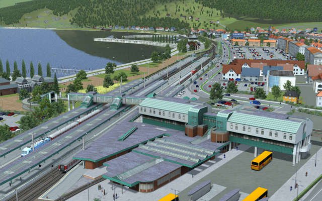
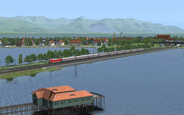
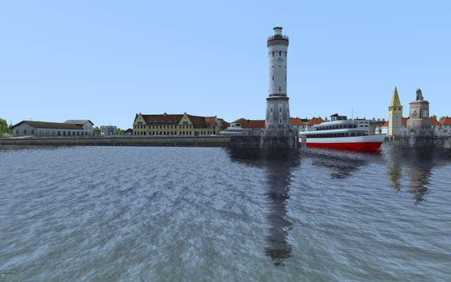
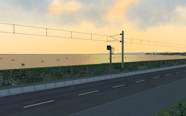
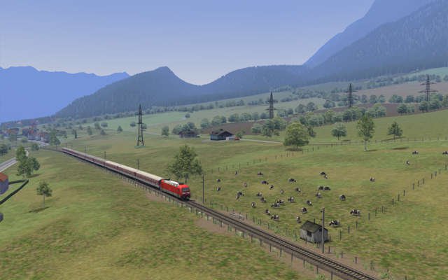
The Three Country Corner route lies at the heart of Europe and covers three countries. It starts at Lake Constance in Germany on the Island of Lindau, crosses over to the mainland on a railway dam, and then follows the shores of Lake Constance to the city of Bregenz in Austria.From there you have two choices - either continue on the main line or take a branch line into Switzerland. This branch line crosses the River Rhine, which forms the border between Austria and Switzerland, and continues on to the city of Rorschach where the line terminates.
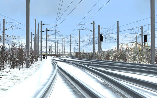
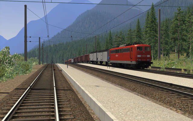
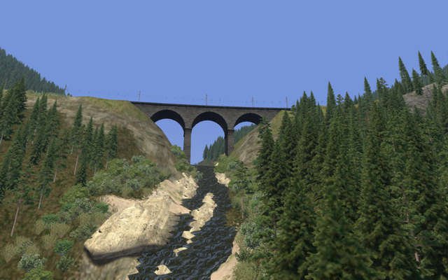
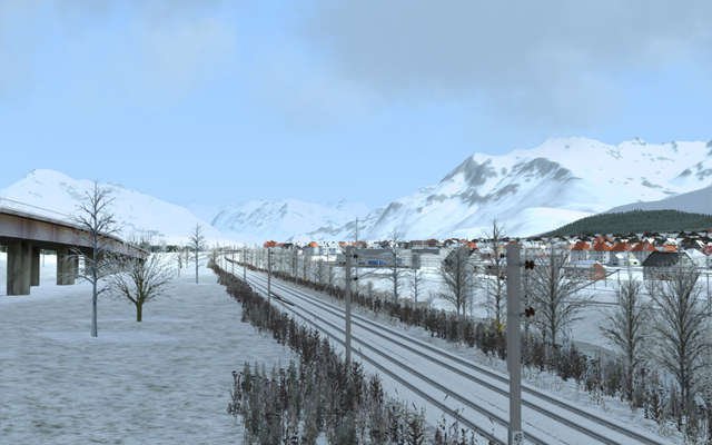
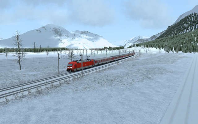
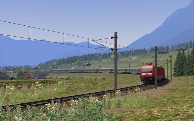
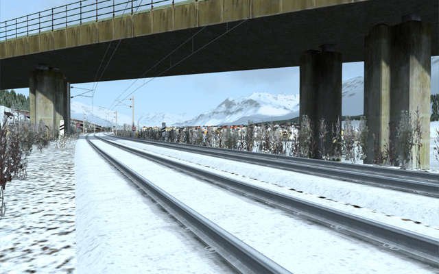
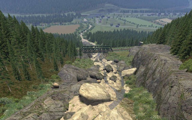
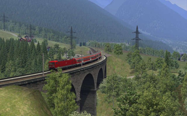
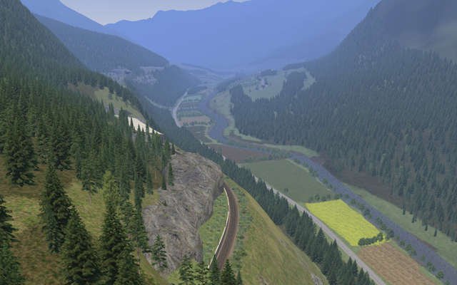
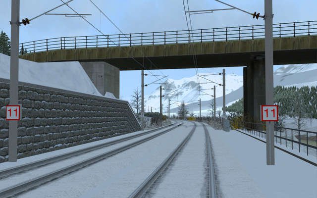
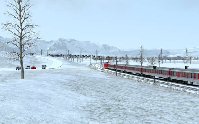
The main line starts its slow climb through the valleys to the city of Bludenz, surrounded by the often snow-capped mountains of the Alps, then becomes a single track mountain pass (Arlberg Pass) that winds its way through the Alps. When the tracks reach the very top of the pass at St. Anton, the route finishes.
Datasheet
| Supplier | Just Trains |
| Genre | Add-on |
| Format | Download |
| Required game | Train Simulator 2016 or higher |
| Language | English/German |
| System | Windows® Vista, 7/8/8.1/10 |
| Disk space | 1.3 GB |
| Processor (CPU) | 3,0 GHz Processor, Dual Core |
| RAM | 512MB (1GB recommended) |
| Graphic card | min. 256 MB RAM (or better) |
| Additional | DirectX 9.0c or better |
If you do not already have the European Loco & Asset Pack and the US Loco & Asset Pack installed (both available to purchase from Dovetail Games via Steam) you will need them both to allow the route to display correctly.
|
|
|---|
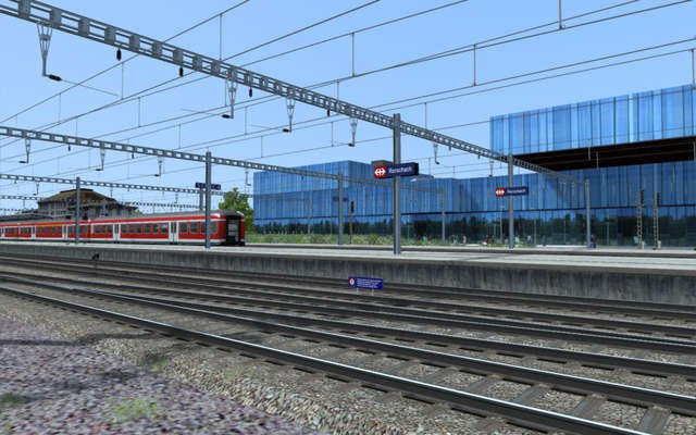
| ✓ 130km (80 miles) of track covering three countries (Austria, Germany and Switzerland). |
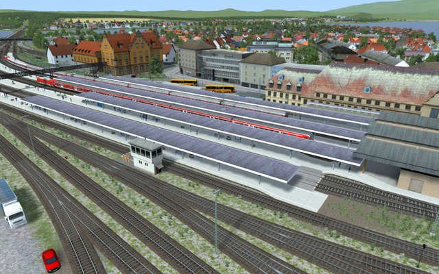
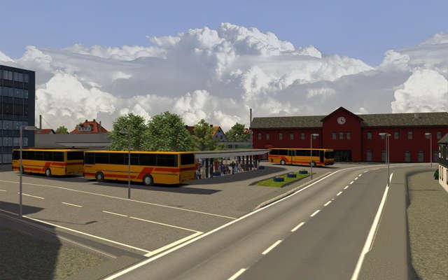
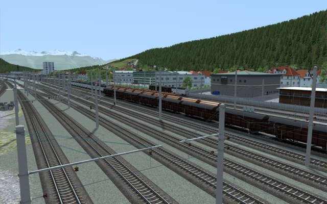
| ✓ 40 detailed stations. |
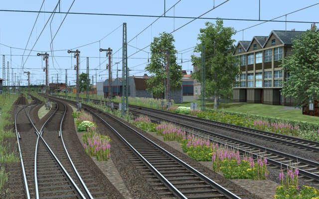
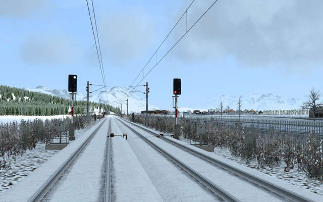
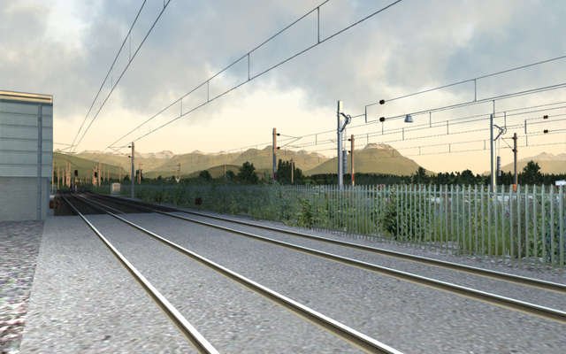
| ✓ Four different and highly realistic signalling systems. |
| ✓ Specially designed and accurate country-specific gantry systems. |
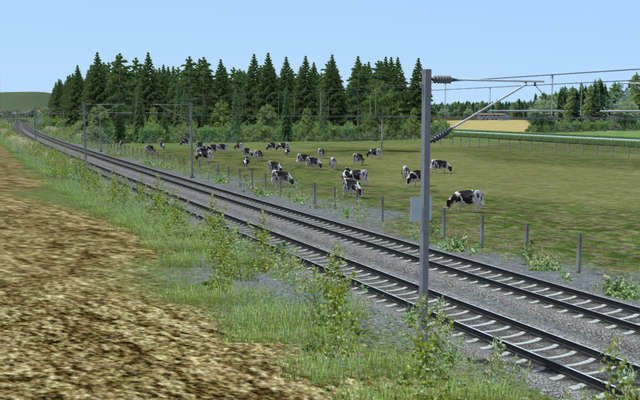
| ✓ Realistic railroads with superelevation. |
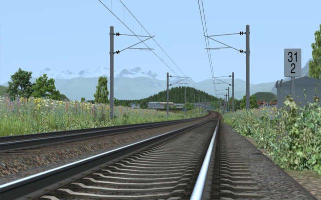
| ✓ Custom signs along the route (speed signs, hectometer signs, warning signs etc.). |
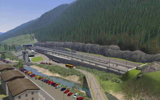
| ✓ Detailed and accurate country-specific station assets (platforms, ticket machines, signs, platform roofs etc). |
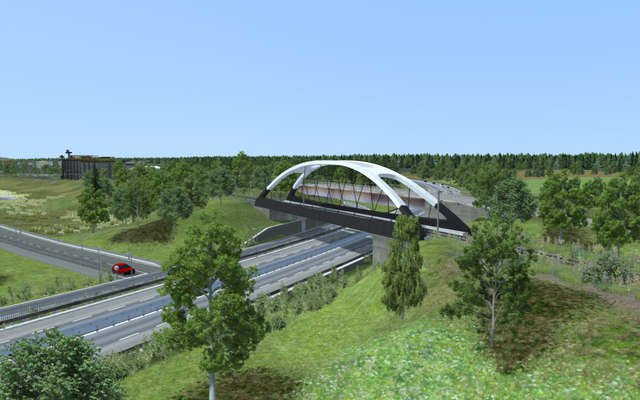
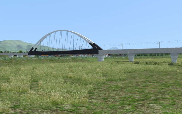
| ✓ All major features such as tracks, main roads, rivers, bridges and tunnels are accurately placed. |
| ✓ Specially designed tracks replicate the real-world tracks along the route. |
| ✓ Newly created track rule including realistic super-elevation. |
| ✓ Many custom buildings along the route. |
| ✓ Route-specific assets such as noise reduction walls and snow-retaining walls. |
| ✓ Faithful re-creation of the Arlberg Pass line including all the rapid gradient changes. |
| ✓ Detailed night lighting taking advantage of TSX technology. |
| ✓ PZB speed monitoring system. |
| ✓ Includes 10 Standard scenarios and 5 Free Roam scenarios - available in English or German, depending on your language settings. |
| ✓ Route is Quick Drive enabled. |
